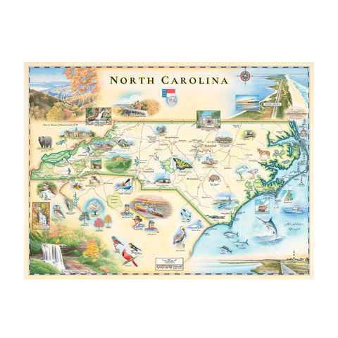
North Carolina Hand Drawn Map 18x24
Explore the charm and diversity of North Carolina with the stunning Lithographic Map Art Print. This original hand-drawn piece, crafted by Chris Robitaille of Xplorer Maps, features a captivating blend of pen and ink with watercolor, showcasing the state’s vibrant landscapes and rich cultural heritage.
Measuring 24" wide by 18" tall unframed, this map captures the unique essence of North Carolina, from the majestic Blue Ridge Mountains in the west to the serene beaches of the Atlantic coast. The intricate details highlight major cities like Charlotte and Raleigh, renowned landmarks such as the Great Smoky Mountains National Park, and a variety of outdoor recreation opportunities that invite adventure seekers to explore the state's natural beauty.
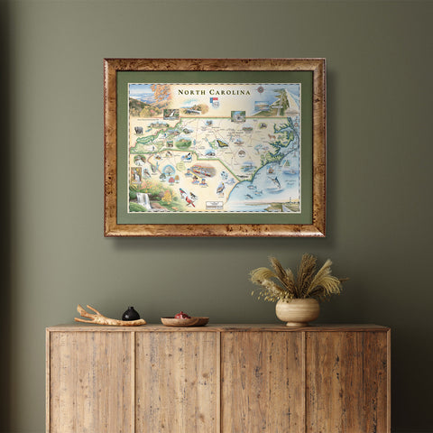
* The frame is not included